MS Line cruise 2003 (LN03)
![]()
|
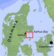
Duration: 02 March - 07 March 2003 Research Area: Aarhus Bay Port: Aarhus Chief Scientist: Joern Bo Jensen (GEUS) - Participants  (1937kb) (1937kb)Download cruise report here |
|
The overall purpose of the METROL field work in Aarhus Bay is to track possible seasonal and inter-annual variation of the geochemical zonation. On basis of the seismic data, samples will be obtained with gravity cores from target locations with different depths of the sulfate-methane transition zone:
The M/S Line cruise was devoted to shallow seismic work in the Arhus Bay, with the purpose to make detailed acoustic mapping of the seismic blanking, representing the distribution of methane in the sediments. Secondly, attempts were made to establish the general stratigraphy of Aarhus Bay, in order to be able to relate the gas formation to specific units.
The seismic grid was planed on basis of existing shallow seismic data from the GEUS archive and concentrating on the central part of the Bay, in areas proven to consist of Holocene muddy sediments that contain gaseous methane. Based on the seismic data, target positions for gravity cores were to be selected for the following Henry cruise 10.-14. March, co-ordinated by: Henrik Fossing (NERI).
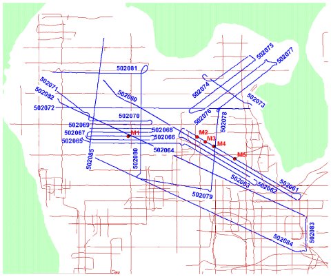 | Seismic grid in Aarhus Bay. Blue lines: Seismic lines surveyed during the MS Line cruise in March 2003. Red lines: Seismic grid from earlier surveys. Red dots: Sediment sampling locations selected according to seismic results on subsurface gas distribution. |
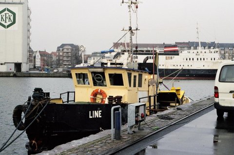 | MS Line in Aarhus harbor. |
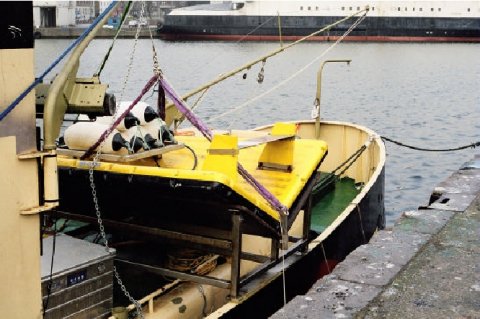 | X-star fish onboard MS Line. |
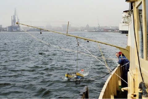 | Boomer catamaran towed on starboard side of MS Line |